
Map distance and accuracy: how to read the shared point
The 2.3 maps add distance from a shared point and more accessible details. The number helps orientation, not safe routing or arrival estimates. Read the point’s origin, capture time and accuracy area before interpreting it.
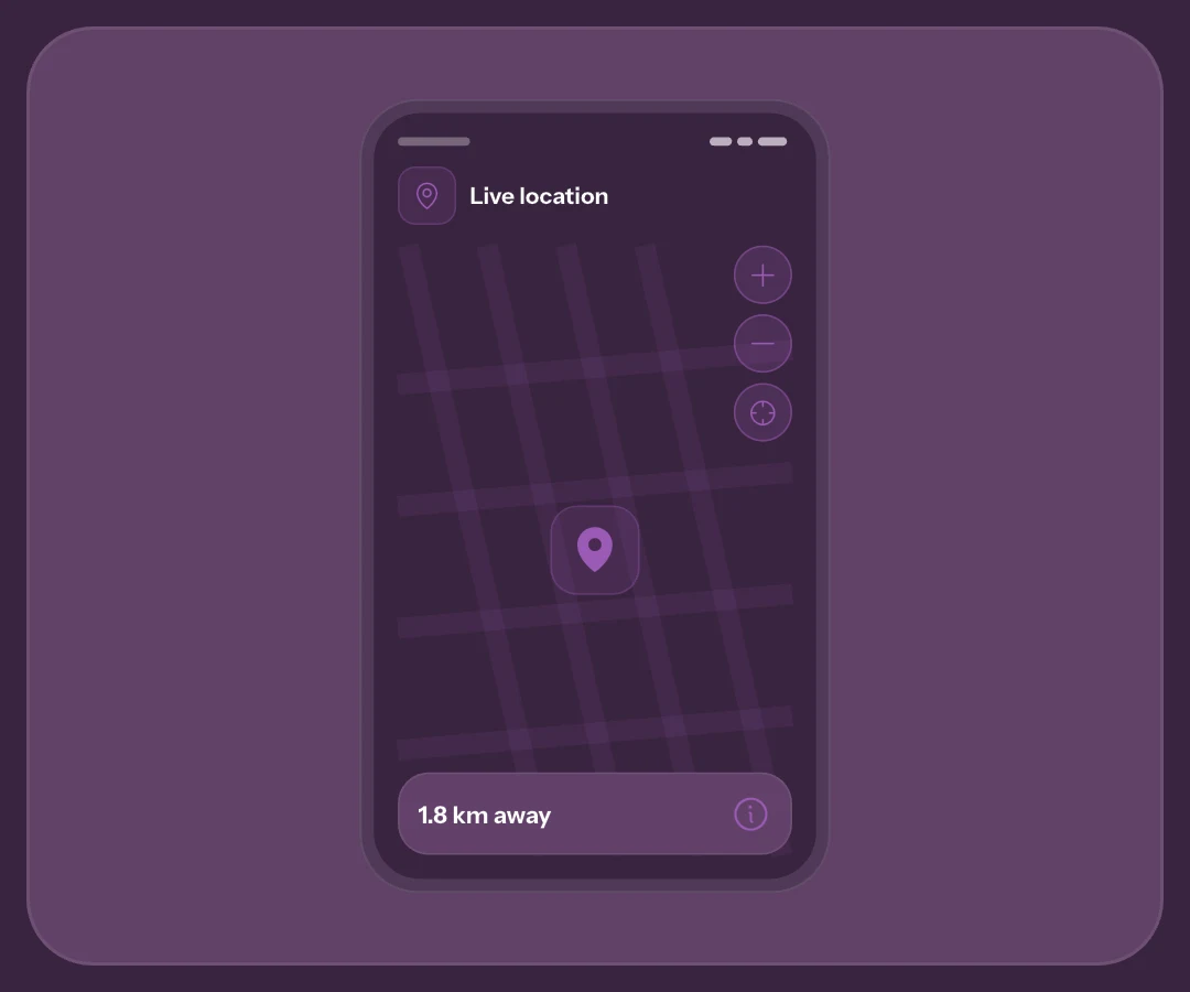
A straight line is not a road
A label such as 1.8 km away compares two coordinates directly. It ignores bridges, junctions, closed entrances, elevation and transport. Nearby points on a map may have a barrier between them.
When you need travel directions
Use suitable directions and check the situation when travelling. Do not promise arrival in minutes from distance alone. A point represents the device sharing it, not proof of the person’s whereabouts or of help arriving.
Accuracy and age answer different questions
The coloured circle represents approximate accuracy. A large circle makes a precise entrance less certain. Capture time tells you how old the information is: a precise point can be from the past.
Open capture details
The i control opens available details, including accuracy and capture time. In a live session, check update age as well as remaining duration. The missing-updates guide explains why an unmoving point does not establish an incident.
Your location is used for comparison, not sharing
With permission already available, distance can appear without a new request. Otherwise Show distance lets you choose access at that moment. Declining does not prevent reading the contact’s point; it removes your-location comparison.
Distance is calculated on your device without being sent or stored on the server. It is separate from starting your own live session or attaching coordinates to SOS or All OK. Your own session’s map does not show distance to yourself.
Zoom and recenter without inventing accuracy
Initial framing considers available accuracy. Plus and minus help explore; zooming does not improve GPS. Recenter returns to the point and expected view, while a live map may follow new readings according to its behaviour.
For a meeting, agree on an entrance or landmark and confirm by message or call. The 2.3 preview explains the redesign; the live guide covers recipients. Artwork here is illustrative, not a route to follow.
Frequently asked questions
Is my distance shared with contacts?
The displayed comparison is calculated locally, without server transmission. Sharing your location is a separate choice in SOS, All OK and live flows.
Does zoom make the point more reliable?
No. It changes framing, not accuracy or freshness. Check circle, capture time and available details before interpreting the place.
Must I share my location to read a contact’s point?
Reading a received point and sharing yours are different. Permission for distance is used for local comparison, without automatically starting your live session.
Sources consulted
Technical and safety information was checked against the following official sources.
Guide by the My Safe Circle team, written from the app manual and checked on October 9, 2026 against the listed sources.
A USEFUL NUMBER WITH CONTEXT
Read the point before acting
Use time, accuracy and direct contact to give location context.
Explore My Safe CircleMy Safe Circle helps contact trusted people. It is not an emergency dispatch centre and cannot guarantee delivery, reading or intervention. For immediate danger, call your local emergency number.